The 'Jenny Lind' public house, High Street, Hampton
Introduction
The photograph on this page of The 'Jenny Lind' public house, High Street, Hampton by nick macneill as part of the Geograph project.
The Geograph project started in 2005 with the aim of publishing, organising and preserving representative images for every square kilometre of Great Britain, Ireland and the Isle of Man.

There are currently over 7.5m images from over 14,400 individuals and you can help contribute to the project by visiting https://www.geograph.org.uk
The 'Jenny Lind' public house, High Street, Hampton
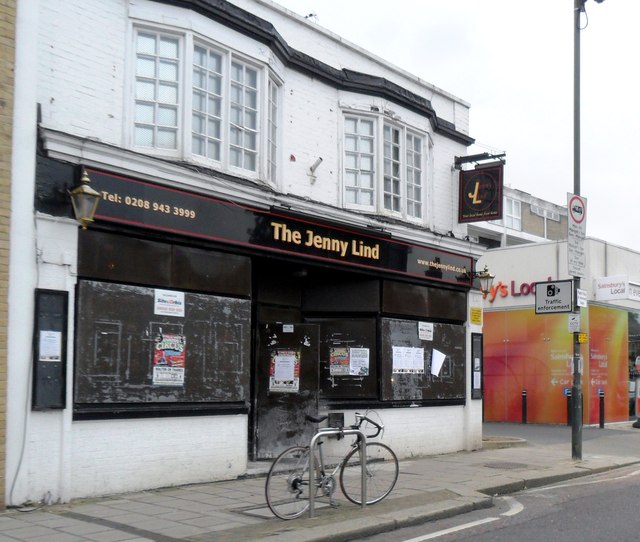
Image: © nick macneill Taken: 9 Oct 2012
The pub is now sadly closed and boarded up.
Images are licensed for reuse under creativecommons.org/licenses/by-sa/2.0
Image Location
Latitude
51.42665
Longitude
-0.355915