Ordnance Survey Bench mark
Introduction
The photograph on this page of Ordnance Survey Bench mark by The Saunterer as part of the Geograph project.
The Geograph project started in 2005 with the aim of publishing, organising and preserving representative images for every square kilometre of Great Britain, Ireland and the Isle of Man.

There are currently over 7.5m images from over 14,400 individuals and you can help contribute to the project by visiting https://www.geograph.org.uk
Ordnance Survey Bench mark
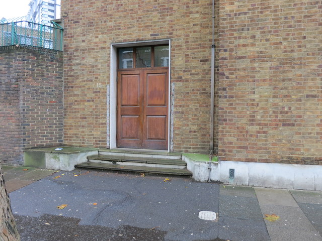
Image: © The Saunterer Taken: 21 Nov 2012
Flush Bracket "FL BR G5139 KENNINGTON POL STA S ANG SW FACE 3.6821m 0.0metres above ground"
Images are licensed for reuse under creativecommons.org/licenses/by-sa/2.0
Image Location
Latitude
51.497522
Longitude
-0.111907