Dale Head
Introduction
The photograph on this page of Dale Head by Chris Heaton as part of the Geograph project.
The Geograph project started in 2005 with the aim of publishing, organising and preserving representative images for every square kilometre of Great Britain, Ireland and the Isle of Man.

There are currently over 7.5m images from over 14,400 individuals and you can help contribute to the project by visiting https://www.geograph.org.uk
Dale Head
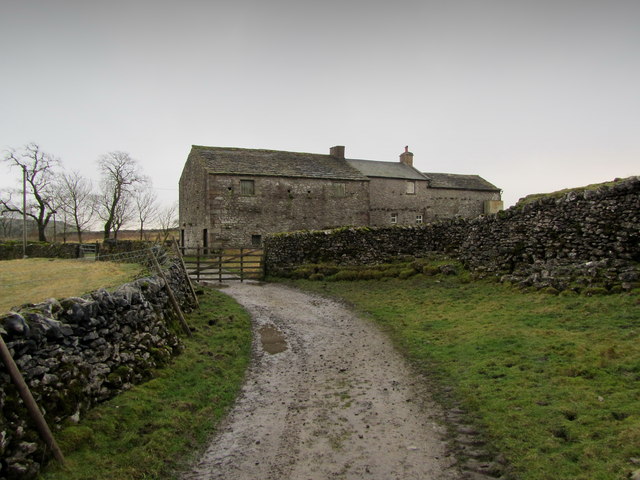
Image: © Chris Heaton Taken: 21 Nov 2012
Farmhouse passed by generations of Pennine Way walkers between Fountains Fell and Pen y Ghent.
Images are licensed for reuse under creativecommons.org/licenses/by-sa/2.0
Image Location
Latitude
54.139897
Longitude
-2.245176