A912 near Glenfarg
Introduction
The photograph on this page of A912 near Glenfarg by William Starkey as part of the Geograph project.
The Geograph project started in 2005 with the aim of publishing, organising and preserving representative images for every square kilometre of Great Britain, Ireland and the Isle of Man.

There are currently over 7.5m images from over 14,400 individuals and you can help contribute to the project by visiting https://www.geograph.org.uk
A912 near Glenfarg
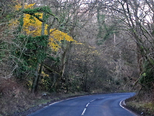
Image: © William Starkey Taken: 21 Nov 2012
The A912 descending towards Glenfarg, viewed on an overcast November afternoon. Most trees have now lost all of their leaves, revealing the dark green leaves of ivy, which clings to both tree-trunks and the roadside embankment.
Images are licensed for reuse under creativecommons.org/licenses/by-sa/2.0
Image Location
Latitude
56.300188
Longitude
-3.356405