Farmland on Binn Hill
Introduction
The photograph on this page of Farmland on Binn Hill by William Starkey as part of the Geograph project.
The Geograph project started in 2005 with the aim of publishing, organising and preserving representative images for every square kilometre of Great Britain, Ireland and the Isle of Man.

There are currently over 7.5m images from over 14,400 individuals and you can help contribute to the project by visiting https://www.geograph.org.uk
Farmland on Binn Hill
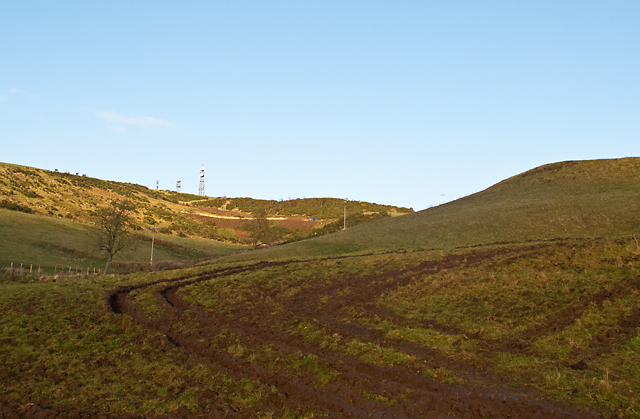
Image: © William Starkey Taken: 21 Nov 2012
Farmland on the lower slopes of Binn Hill, used as grazing for sheep when this image was taken. Telecommunication masts on the summit of Binn Hill can be seen on the skyline.
Images are licensed for reuse under creativecommons.org/licenses/by-sa/2.0
Image Location
Latitude
56.304007
Longitude
-3.344095