Sign for Jedburgh Circular route
Introduction
The photograph on this page of Sign for Jedburgh Circular route by Jim Barton as part of the Geograph project.
The Geograph project started in 2005 with the aim of publishing, organising and preserving representative images for every square kilometre of Great Britain, Ireland and the Isle of Man.

There are currently over 7.5m images from over 14,400 individuals and you can help contribute to the project by visiting https://www.geograph.org.uk
Sign for Jedburgh Circular route
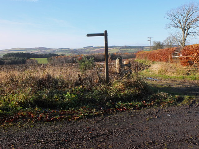
Image: © Jim Barton Taken: 18 Nov 2012
Both a walk and a horseriding route, this passes through woods and farmland to the east of the town, here by the crossing point of the Oxnam road.
Images are licensed for reuse under creativecommons.org/licenses/by-sa/2.0
Image Location
Latitude
55.475515
Longitude
-2.517759