Milton Brae
Introduction
The photograph on this page of Milton Brae by Lairich Rig as part of the Geograph project.
The Geograph project started in 2005 with the aim of publishing, organising and preserving representative images for every square kilometre of Great Britain, Ireland and the Isle of Man.

There are currently over 7.5m images from over 14,400 individuals and you can help contribute to the project by visiting https://www.geograph.org.uk
Milton Brae
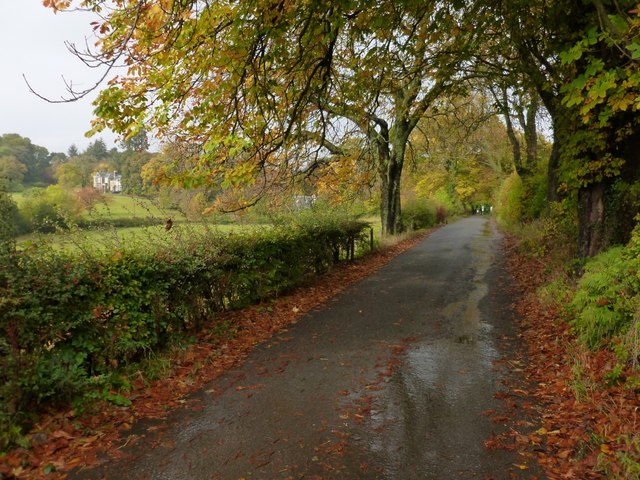
Image: © Lairich Rig Taken: 18 Oct 2012
The building on the left is Image, and the one closer to the centre of the photo is its former lodge: Image One of the entrances of the Overtoun Estate is visible at the far end of the road; see Image For the more southerly sections of the road, see Image and Image
Images are licensed for reuse under creativecommons.org/licenses/by-sa/2.0
Image Location
Latitude
55.947466
Longitude
-4.523246