Craigendoran Station
Introduction
The photograph on this page of Craigendoran Station by Lairich Rig as part of the Geograph project.
The Geograph project started in 2005 with the aim of publishing, organising and preserving representative images for every square kilometre of Great Britain, Ireland and the Isle of Man.

There are currently over 7.5m images from over 14,400 individuals and you can help contribute to the project by visiting https://www.geograph.org.uk
Craigendoran Station
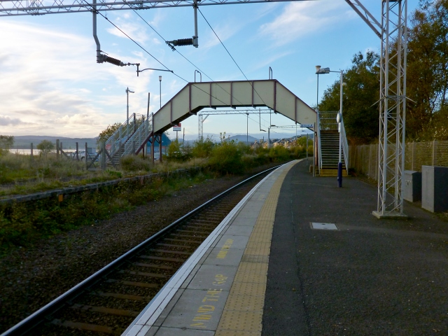
Image: © Lairich Rig Taken: 15 Oct 2012
The picture was taken shortly before sunset. The station can be reached from Station Road, or (by foot) by means of a path from Image; on the latter path, an underpass leads below the line of the West Highland Railway (Image). For more distant views of the station, see Image and Image
Images are licensed for reuse under creativecommons.org/licenses/by-sa/2.0
Image Location
Latitude
55.994867
Longitude
-4.712051