Burn beside Manse Brae
Introduction
The photograph on this page of Burn beside Manse Brae by Lairich Rig as part of the Geograph project.
The Geograph project started in 2005 with the aim of publishing, organising and preserving representative images for every square kilometre of Great Britain, Ireland and the Isle of Man.

There are currently over 7.5m images from over 14,400 individuals and you can help contribute to the project by visiting https://www.geograph.org.uk
Burn beside Manse Brae
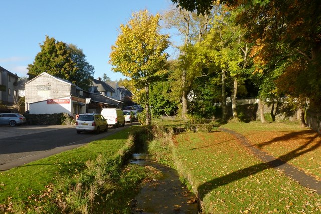
Image: © Lairich Rig Taken: 15 Oct 2012
The road on the left is called Manse Brae. The footpath on the right is also a cycle path; not far ahead, it can be seen crossing the burn by means of a small bridge, as shown from another angle in Image
Images are licensed for reuse under creativecommons.org/licenses/by-sa/2.0
Image Location
Latitude
56.016748
Longitude
-4.778897