The wrong side of the hedge
Introduction
The photograph on this page of The wrong side of the hedge by Robin Webster as part of the Geograph project.
The Geograph project started in 2005 with the aim of publishing, organising and preserving representative images for every square kilometre of Great Britain, Ireland and the Isle of Man.

There are currently over 7.5m images from over 14,400 individuals and you can help contribute to the project by visiting https://www.geograph.org.uk
The wrong side of the hedge
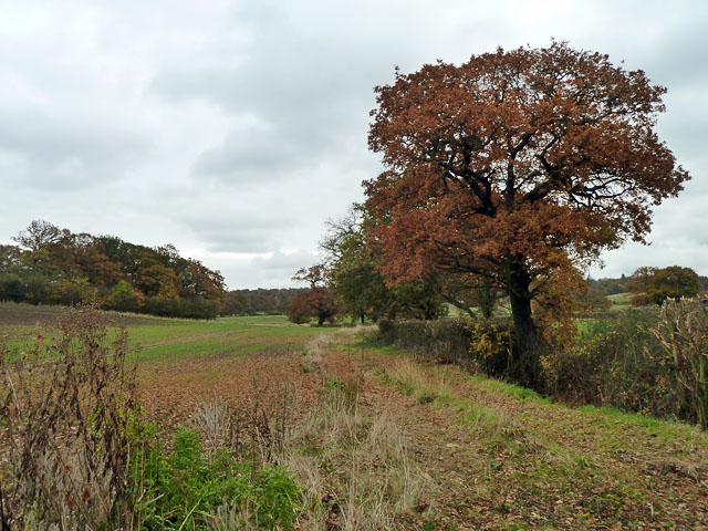
Image: © Robin Webster Taken: 17 Nov 2012
And more awkwardly, the wrong side of the ditch. The public footpath runs on the other side, or at least the field edge used to avoid crossing a field corner does. At the far end of this hedge it seemed this side was more used, and there was no other indication with only a 1:50000 map. This turned out to be because this headland had been used for recent hedging and ditching, which came to an abrupt end. Fortunately I was turning back anyway, having 'done the square'.
Images are licensed for reuse under creativecommons.org/licenses/by-sa/2.0
Image Location
Latitude
51.672678
Longitude
0.018881