Hucknall, NG15 - Butler's Hill Area
Introduction
The photograph on this page of Hucknall, NG15 - Butler's Hill Area by David Hallam-Jones as part of the Geograph project.
The Geograph project started in 2005 with the aim of publishing, organising and preserving representative images for every square kilometre of Great Britain, Ireland and the Isle of Man.

There are currently over 7.5m images from over 14,400 individuals and you can help contribute to the project by visiting https://www.geograph.org.uk
Hucknall, NG15 - Butler's Hill Area
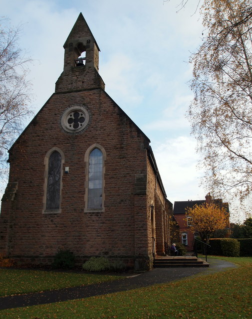
Image: © David Hallam-Jones Taken: 17 Nov 2012
This path at the side of St John’s Anglican Church - a building located on Portland Road - leads to "The Parsonage" that is behind the small tree in the garden. The church was built in the 1870's to provide for the needs of miners and their families in the Butlers Hill and Broomhill areas of Hucknall.
Images are licensed for reuse under creativecommons.org/licenses/by-sa/2.0
Image Location
Latitude
53.030253
Longitude
-1.195513