Public footpath near Halfpenny Green, Staffordshire
Introduction
The photograph on this page of Public footpath near Halfpenny Green, Staffordshire by Roger D Kidd as part of the Geograph project.
The Geograph project started in 2005 with the aim of publishing, organising and preserving representative images for every square kilometre of Great Britain, Ireland and the Isle of Man.

There are currently over 7.5m images from over 14,400 individuals and you can help contribute to the project by visiting https://www.geograph.org.uk
Public footpath near Halfpenny Green, Staffordshire
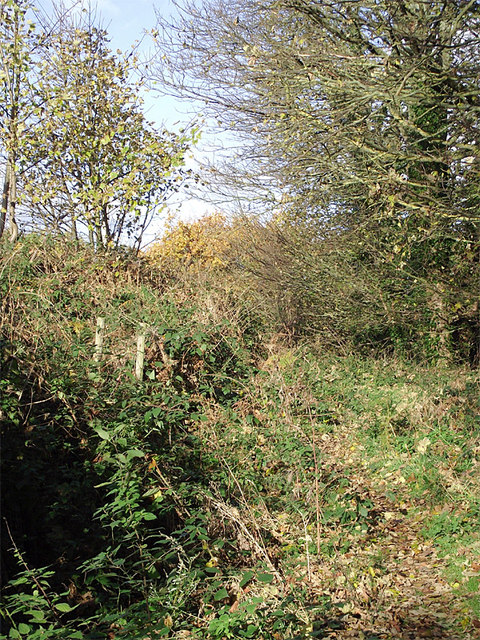
Image: © Roger D Kidd Taken: 11 Nov 2012
The Staffordshire Way climbs this somewhat overgrown way towards Abbot's Castle Hill. A deep (apparently mothballed) sandstone quarry is off to the left (west). http://www.staffordshire.gov.uk/environment/eLand/RightsofWay/PromotedRoutes/StaffordshireWay.aspx
Images are licensed for reuse under creativecommons.org/licenses/by-sa/2.0
Image Location
Latitude
52.529946
Longitude
-2.243755