Cropfield and farm near Halfpenny Green, Staffordshire
Introduction
The photograph on this page of Cropfield and farm near Halfpenny Green, Staffordshire by Roger D Kidd as part of the Geograph project.
The Geograph project started in 2005 with the aim of publishing, organising and preserving representative images for every square kilometre of Great Britain, Ireland and the Isle of Man.

There are currently over 7.5m images from over 14,400 individuals and you can help contribute to the project by visiting https://www.geograph.org.uk
Cropfield and farm near Halfpenny Green, Staffordshire
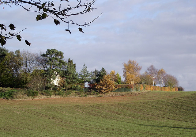
Image: © Roger D Kidd Taken: 11 Nov 2012
Seen from the footpath by the quarry. The farm is called The Eaves. The winter wheat (or similar) crop appears to be growing well. The soil colour shows the tint of underlying Triassic sandstone. Late afternoon autumn sunlight is adding a golden cast to the scene.
Images are licensed for reuse under creativecommons.org/licenses/by-sa/2.0
Image Location
Latitude
52.529807
Longitude
-2.241381