Junction of Brunel Way and Nutwood Way
Introduction
The photograph on this page of Junction of Brunel Way and Nutwood Way by Stuart Logan as part of the Geograph project.
The Geograph project started in 2005 with the aim of publishing, organising and preserving representative images for every square kilometre of Great Britain, Ireland and the Isle of Man.

There are currently over 7.5m images from over 14,400 individuals and you can help contribute to the project by visiting https://www.geograph.org.uk
Junction of Brunel Way and Nutwood Way
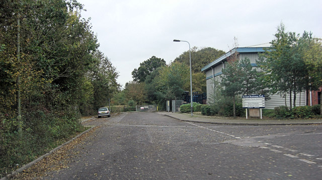
Image: © Stuart Logan Taken: 26 Oct 2012
Part of a large industrial estate; on the ground where we used to roam as kids in the 1950's.
Images are licensed for reuse under creativecommons.org/licenses/by-sa/2.0
Image Location
Latitude
50.931285
Longitude
-1.494222