Bobbers Mill's bridges
Introduction
The photograph on this page of Bobbers Mill's bridges by John Sutton as part of the Geograph project.
The Geograph project started in 2005 with the aim of publishing, organising and preserving representative images for every square kilometre of Great Britain, Ireland and the Isle of Man.

There are currently over 7.5m images from over 14,400 individuals and you can help contribute to the project by visiting https://www.geograph.org.uk
Bobbers Mill's bridges
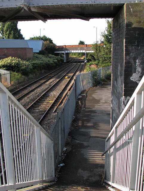
Image: © John Sutton Taken: 13 Sep 2012
A view of Bobbers Mill Bridge (built in the 1930s) from the footbridge which links the truncated Alfreton and Nuthall Roads. Before Bobbers Mill Bridge was built, there was a level crossing here.
Images are licensed for reuse under creativecommons.org/licenses/by-sa/2.0
Image Location
Latitude
52.967152
Longitude
-1.182987