St Matthew's Church of England Primary School and Cottenham Park Road
Introduction
The photograph on this page of St Matthew's Church of England Primary School and Cottenham Park Road by Marathon as part of the Geograph project.
The Geograph project started in 2005 with the aim of publishing, organising and preserving representative images for every square kilometre of Great Britain, Ireland and the Isle of Man.

There are currently over 7.5m images from over 14,400 individuals and you can help contribute to the project by visiting https://www.geograph.org.uk
St Matthew's Church of England Primary School and Cottenham Park Road
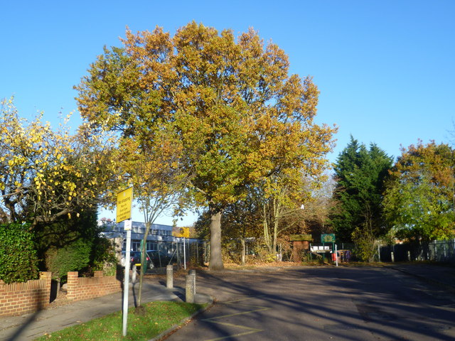
Image: © Marathon Taken: 14 Nov 2012
Cottenham Park Road leads off Coombe Lane. A short way along it becomes a footpath alongside St Matthew's Church of England Primary School. The footpath is seen here on the right while the school entrance is on the left.
Images are licensed for reuse under creativecommons.org/licenses/by-sa/2.0
Image Location
Latitude
51.414243
Longitude
-0.244479