C2C at Consett
Introduction
The photograph on this page of C2C at Consett by Oliver Dixon as part of the Geograph project.
The Geograph project started in 2005 with the aim of publishing, organising and preserving representative images for every square kilometre of Great Britain, Ireland and the Isle of Man.

There are currently over 7.5m images from over 14,400 individuals and you can help contribute to the project by visiting https://www.geograph.org.uk
C2C at Consett
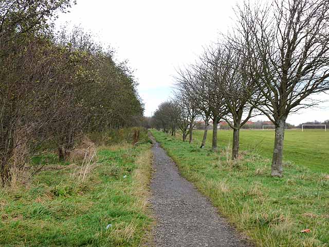
Image: © Oliver Dixon Taken: 13 Nov 2012
The Consett and Sunderland path (part of the famous C2C cycle route, National Cycle Network route 7) for the most part follows the line of the old railway. But here it diverges from the trackbed for about 1 km and runs along this line of trees at the edge of the Crook Hall playing fields. This was the first length of the path to be laid (in 1987).
Images are licensed for reuse under creativecommons.org/licenses/by-sa/2.0
Image Location
Latitude
54.850616
Longitude
-1.824912