The Old House, Orleton
Introduction
The photograph on this page of The Old House, Orleton by Philip Pankhurst as part of the Geograph project.
The Geograph project started in 2005 with the aim of publishing, organising and preserving representative images for every square kilometre of Great Britain, Ireland and the Isle of Man.

There are currently over 7.5m images from over 14,400 individuals and you can help contribute to the project by visiting https://www.geograph.org.uk
The Old House, Orleton
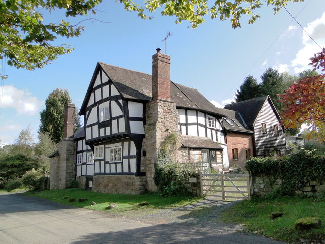
Image: © Philip Pankhurst Taken: 3 Oct 2012
15th century house in the village centre. Pevsner (Brooks) reports a tree ring date of 1466-7 for the timbered range that overlooks the street.
Images are licensed for reuse under creativecommons.org/licenses/by-sa/2.0
Image Location
Latitude
52.29993
Longitude
-2.74652