Gordon Rise, Mapperley
Introduction
The photograph on this page of Gordon Rise, Mapperley by Richard Vince as part of the Geograph project.
The Geograph project started in 2005 with the aim of publishing, organising and preserving representative images for every square kilometre of Great Britain, Ireland and the Isle of Man.

There are currently over 7.5m images from over 14,400 individuals and you can help contribute to the project by visiting https://www.geograph.org.uk
Gordon Rise, Mapperley
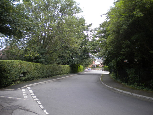
Image: © Richard Vince Taken: 14 Jul 2012
Seen from Private Road (which actually continues as the turning to the left in the foreground), Gordon Rise appears unpopulated. However, it is surrounding by housing, albeit at a different level from the road at this point.
Images are licensed for reuse under creativecommons.org/licenses/by-sa/2.0
Image Location
Latitude
52.978963
Longitude
-1.137041