High Speed 1 towards West Thurrock
Introduction
The photograph on this page of High Speed 1 towards West Thurrock by David Anstiss as part of the Geograph project.
The Geograph project started in 2005 with the aim of publishing, organising and preserving representative images for every square kilometre of Great Britain, Ireland and the Isle of Man.

There are currently over 7.5m images from over 14,400 individuals and you can help contribute to the project by visiting https://www.geograph.org.uk
High Speed 1 towards West Thurrock
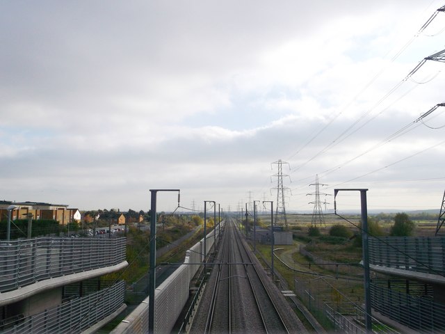
Image: © David Anstiss Taken: 7 Nov 2012
As seen from Image This railway carries the Channel Tunnel Railway from Stratford towards Ebbsfleet (in Kent). It heads towards West Thurrock where it heads into a tunnel under the River Thames. On the left, the local railway line between Rainham and Purfleet can just be seen.
Images are licensed for reuse under creativecommons.org/licenses/by-sa/2.0
Image Location
Latitude
51.515531
Longitude
0.191801