Frolar Meadows
Introduction
The photograph on this page of Frolar Meadows by Mike Quinn as part of the Geograph project.
The Geograph project started in 2005 with the aim of publishing, organising and preserving representative images for every square kilometre of Great Britain, Ireland and the Isle of Man.

There are currently over 7.5m images from over 14,400 individuals and you can help contribute to the project by visiting https://www.geograph.org.uk
Frolar Meadows
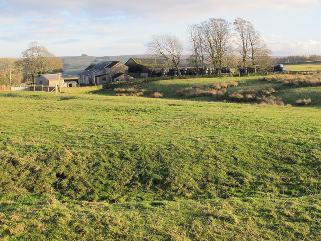
Image: © Mike Quinn Taken: 10 Nov 2012
Shows the location of Image The depression in the foreground is one of the (collapsed) lead smelting flue chimneys; to the right (SW) this flue runs up to the northern lead smelting flue chimney - see Image
Images are licensed for reuse under creativecommons.org/licenses/by-sa/2.0
Image Location
Latitude
54.890217
Longitude
-2.284793