The edge of Royston [at the moment]
Introduction
The photograph on this page of The edge of Royston [at the moment] by Christine Johnstone as part of the Geograph project.
The Geograph project started in 2005 with the aim of publishing, organising and preserving representative images for every square kilometre of Great Britain, Ireland and the Isle of Man.

There are currently over 7.5m images from over 14,400 individuals and you can help contribute to the project by visiting https://www.geograph.org.uk
The edge of Royston [at the moment]
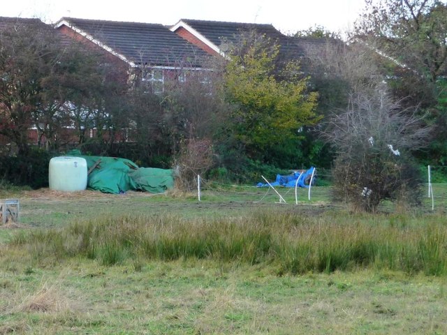
Image: © Christine Johnstone Taken: 10 Nov 2012
Houses in Wood Walk, seen from the northern end of Melton Way. New estates east of Station Road are constantly eating into Low Common.
Images are licensed for reuse under creativecommons.org/licenses/by-sa/2.0
Image Location
Latitude
53.604484
Longitude
-1.45365