Path to Strathleven Estate
Introduction
The photograph on this page of Path to Strathleven Estate by Lairich Rig as part of the Geograph project.
The Geograph project started in 2005 with the aim of publishing, organising and preserving representative images for every square kilometre of Great Britain, Ireland and the Isle of Man.

There are currently over 7.5m images from over 14,400 individuals and you can help contribute to the project by visiting https://www.geograph.org.uk
Path to Strathleven Estate
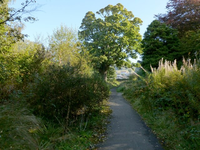
Image: © Lairich Rig Taken: 8 Oct 2012
This path is shown on the 1:25000 OS map. It passes not far to the north of Image, and leads from the Vale of Leven Industrial Estate to Strathleven Estate, the latter being an area of housing (the houses visible beyond the far end of the path are located there).
Images are licensed for reuse under creativecommons.org/licenses/by-sa/2.0
Image Location
Latitude
55.969854
Longitude
-4.570701