Houses in Croft Road, New Marston
Introduction
The photograph on this page of Houses in Croft Road, New Marston by Des Blenkinsopp as part of the Geograph project.
The Geograph project started in 2005 with the aim of publishing, organising and preserving representative images for every square kilometre of Great Britain, Ireland and the Isle of Man.

There are currently over 7.5m images from over 14,400 individuals and you can help contribute to the project by visiting https://www.geograph.org.uk
Houses in Croft Road, New Marston
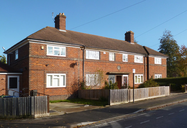
Image: © Des Blenkinsopp Taken: 7 Nov 2012
Pre-war suburban housing here. The plaque above the central doors has the date 1935. Close up of a similar one on Image
Images are licensed for reuse under creativecommons.org/licenses/by-sa/2.0
Image Location
Latitude
51.764691
Longitude
-1.236601