Valley Pasture
Introduction
The photograph on this page of Valley Pasture by Tony Atkin as part of the Geograph project.
The Geograph project started in 2005 with the aim of publishing, organising and preserving representative images for every square kilometre of Great Britain, Ireland and the Isle of Man.

There are currently over 7.5m images from over 14,400 individuals and you can help contribute to the project by visiting https://www.geograph.org.uk
Valley Pasture
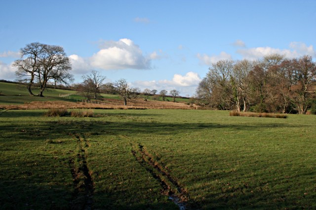
Image: © Tony Atkin Taken: 25 Jan 2007
In the valley of the River Kensey near Badharlick Bridge. The ruts made by the excursion of just one vehicle into the field attest to the amount of rain we have had this winter which has left these field soft and wet.
Images are licensed for reuse under creativecommons.org/licenses/by-sa/2.0
Image Location


Leaflet Map data © OpenStreetMap
Latitude
50.651408
Longitude
-4.454259