Albert Road, St Philip's Marsh, Bristol
Introduction
The photograph on this page of Albert Road, St Philip's Marsh, Bristol by Jaggery as part of the Geograph project.
The Geograph project started in 2005 with the aim of publishing, organising and preserving representative images for every square kilometre of Great Britain, Ireland and the Isle of Man.

There are currently over 7.5m images from over 14,400 individuals and you can help contribute to the project by visiting https://www.geograph.org.uk
Albert Road, St Philip's Marsh, Bristol
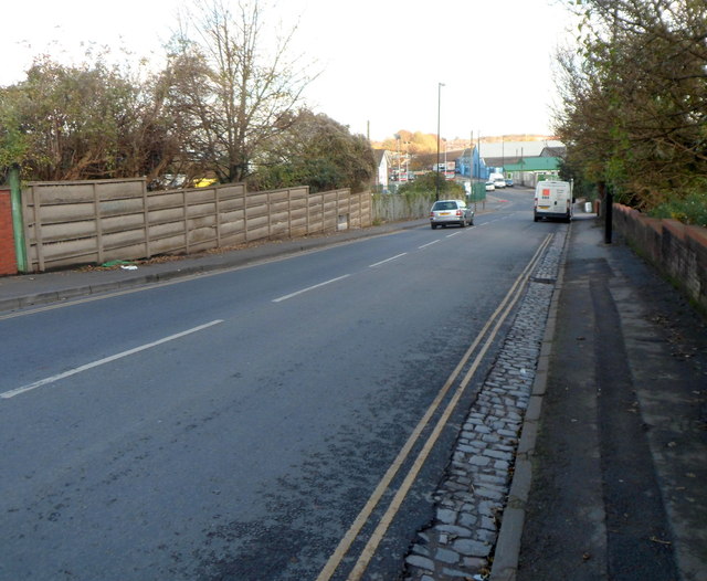
Image: © Jaggery Taken: 5 Nov 2012
A view east along Albert Road from the northern end of Totterdown Bridge. http://www.geograph.org.uk/photo/3215487 St Philip's Marsh is an industrial inner suburb of Bristol, sometimes referred to as St Philip's.
Images are licensed for reuse under creativecommons.org/licenses/by-sa/2.0
Image Location
Latitude
51.443981
Longitude
-2.570314