Dartford: Fastrack busway towards Rennie Drive
Introduction
The photograph on this page of Dartford: Fastrack busway towards Rennie Drive by David Anstiss as part of the Geograph project.
The Geograph project started in 2005 with the aim of publishing, organising and preserving representative images for every square kilometre of Great Britain, Ireland and the Isle of Man.

There are currently over 7.5m images from over 14,400 individuals and you can help contribute to the project by visiting https://www.geograph.org.uk
Dartford: Fastrack busway towards Rennie Drive
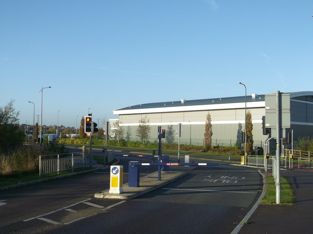
Image: © David Anstiss Taken: 7 Nov 2012
The Fastrack bus service provides a network of express bus routes in Kent Thameside, in several cases following new dedicated roads. This is the Busway at the eastern end of The Bridge development that allows Fastrack buses on Route 'A', and no other vehicles, to pass under the QEII bridge approach to rejoin the public road system.
Images are licensed for reuse under creativecommons.org/licenses/by-sa/2.0
Image Location
Latitude
51.454277
Longitude
0.239965