Houses on the Fosse Way
Introduction
The photograph on this page of Houses on the Fosse Way by Nigel Mykura as part of the Geograph project.
The Geograph project started in 2005 with the aim of publishing, organising and preserving representative images for every square kilometre of Great Britain, Ireland and the Isle of Man.

There are currently over 7.5m images from over 14,400 individuals and you can help contribute to the project by visiting https://www.geograph.org.uk
Houses on the Fosse Way
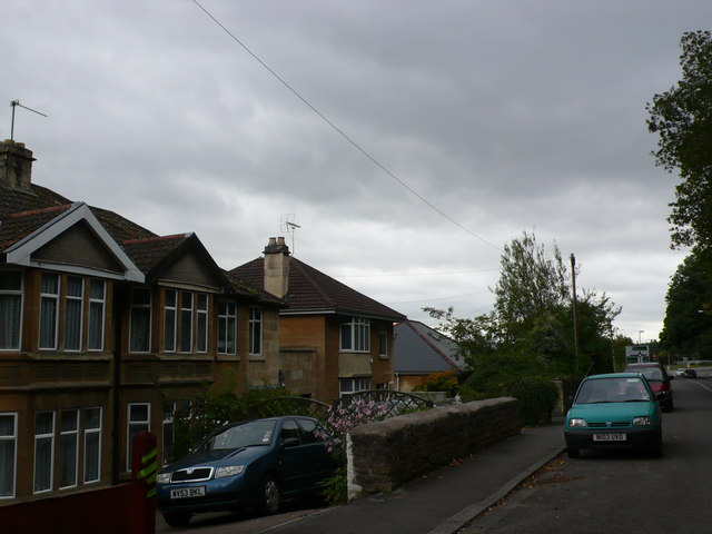
Image: © Nigel Mykura Taken: 30 Sep 2012
This for many hundreds of years was the main route east out of the city of Bath. At this point the road is now known as London Road West. It was formerly the A4 but is now a minor road. The houses are lower than the road as they are on a steep slope above the River Avon. The houses are built of mellow yellow bath stone.
Images are licensed for reuse under creativecommons.org/licenses/by-sa/2.0
Image Location
Latitude
51.399665
Longitude
-2.334017