A chimney stack by the Hardgrove Burn
Introduction
The photograph on this page of A chimney stack by the Hardgrove Burn by Walter Baxter as part of the Geograph project.
The Geograph project started in 2005 with the aim of publishing, organising and preserving representative images for every square kilometre of Great Britain, Ireland and the Isle of Man.

There are currently over 7.5m images from over 14,400 individuals and you can help contribute to the project by visiting https://www.geograph.org.uk
A chimney stack by the Hardgrove Burn
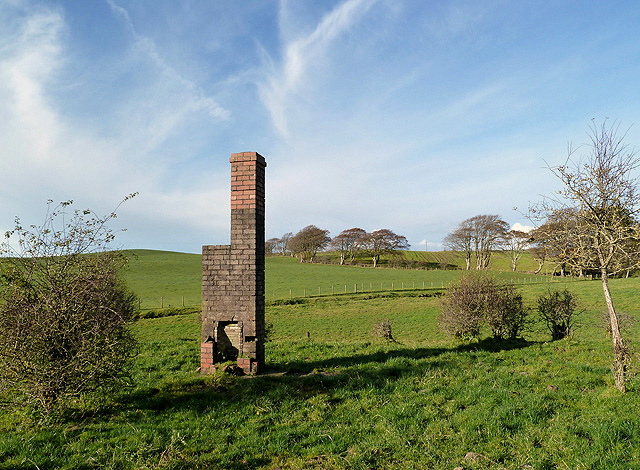
Image: © Walter Baxter Taken: 4 Nov 2012
This red brick fireplace and chimney stack is all that remains of a building in a field on the south side of Hardgrove Farm.
Images are licensed for reuse under creativecommons.org/licenses/by-sa/2.0
Image Location


Leaflet Map data © OpenStreetMap
Latitude
55.018128
Longitude
-3.389566