Bognor Regis (Lec Refrigeration) Airfield
Introduction
The photograph on this page of Bognor Regis (Lec Refrigeration) Airfield by Phillip Perry as part of the Geograph project.
The Geograph project started in 2005 with the aim of publishing, organising and preserving representative images for every square kilometre of Great Britain, Ireland and the Isle of Man.

There are currently over 7.5m images from over 14,400 individuals and you can help contribute to the project by visiting https://www.geograph.org.uk
Bognor Regis (Lec Refrigeration) Airfield
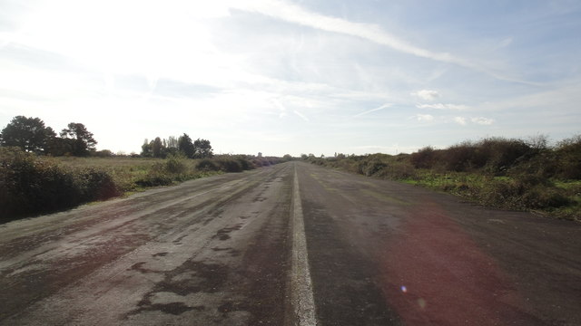
Image: © Phillip Perry Taken: 30 Oct 2012
I don't know the official name of the airstrip, but I'll go with the above. The strip was tarmaced in 1984 - the surface looks better than a lot of roads. The strip and lots of acres used to belong to LEC Refrigeration based in Bognor, some of the land was sold off recently to make way for a new Sainsbury's branch opening later in 2012. This is the northern end of the strip, close to the weed infested footpath - No.147.
Images are licensed for reuse under creativecommons.org/licenses/by-sa/2.0
Image Location
Latitude
50.80272
Longitude
-0.657486