Farm Gate
Introduction
The photograph on this page of Farm Gate by Mama Herb as part of the Geograph project.
The Geograph project started in 2005 with the aim of publishing, organising and preserving representative images for every square kilometre of Great Britain, Ireland and the Isle of Man.

There are currently over 7.5m images from over 14,400 individuals and you can help contribute to the project by visiting https://www.geograph.org.uk
Farm Gate
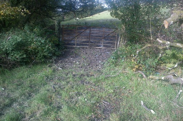
Image: © Mama Herb Taken: 20 Oct 2012
There's a little green lane that links the unclassified road leading up to Graig Fawr with the Garnswllt Road. Coming down from the Graig Fawr road, at this location the track appears to continue round to the left but it's a red herring. From here the track is a private drive and the right of way dives off down to the right into trees to emerge next to Capel Ebenezer in Pentrebach.
Images are licensed for reuse under creativecommons.org/licenses/by-sa/2.0
Image Location
Latitude
51.725263
Longitude
-4.024748