Nether Blainslie
Introduction
The photograph on this page of Nether Blainslie by M J Richardson as part of the Geograph project.
The Geograph project started in 2005 with the aim of publishing, organising and preserving representative images for every square kilometre of Great Britain, Ireland and the Isle of Man.

There are currently over 7.5m images from over 14,400 individuals and you can help contribute to the project by visiting https://www.geograph.org.uk
Nether Blainslie
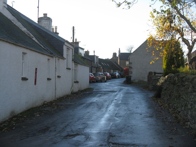
Image: © M J Richardson Taken: 2 Nov 2012
One of the strung-out settlements on what would have been the old road through Lauderdale, now superseded by the A68 to the east.
Images are licensed for reuse under creativecommons.org/licenses/by-sa/2.0
Image Location
Latitude
55.68519
Longitude
-2.722199