The former Bonhill Quarry
Introduction
The photograph on this page of The former Bonhill Quarry by Lairich Rig as part of the Geograph project.
The Geograph project started in 2005 with the aim of publishing, organising and preserving representative images for every square kilometre of Great Britain, Ireland and the Isle of Man.

There are currently over 7.5m images from over 14,400 individuals and you can help contribute to the project by visiting https://www.geograph.org.uk
The former Bonhill Quarry
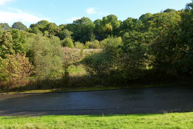
Image: © Lairich Rig Taken: 5 Oct 2012
The disused quarry is shown here in a view from the other side of Hillbank Street (in the foreground). Only a small patch of the sheer rock face is visible through the trees; it appears centrally in the background. For much a closer look, see Image
Images are licensed for reuse under creativecommons.org/licenses/by-sa/2.0
Image Location
Latitude
55.982573
Longitude
-4.568499