Glasllwch Crescent houses near the M4, Newport
Introduction
The photograph on this page of Glasllwch Crescent houses near the M4, Newport by Jaggery as part of the Geograph project.
The Geograph project started in 2005 with the aim of publishing, organising and preserving representative images for every square kilometre of Great Britain, Ireland and the Isle of Man.

There are currently over 7.5m images from over 14,400 individuals and you can help contribute to the project by visiting https://www.geograph.org.uk
Glasllwch Crescent houses near the M4, Newport
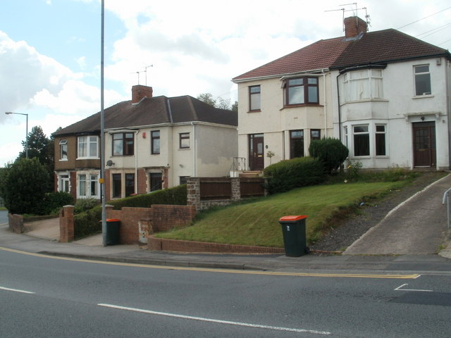
Image: © Jaggery Taken: 8 Aug 2011
Beyond these Glasllwch Crescent semi-detached houses is M4 junction 27. The houses resume on the far side of the junction. There is no gap in the numbering sequence, which indicates that no Glasllwch Crescent houses were demolished during the construction of the motorway and junction 27. Perhaps the houses were not yet built at that time (mid 1960s).
Images are licensed for reuse under creativecommons.org/licenses/by-sa/2.0
Image Location
Latitude
51.585109
Longitude
-3.035825