Pair of houses, Whitehall Road
Introduction
The photograph on this page of Pair of houses, Whitehall Road by Humphrey Bolton as part of the Geograph project.
The Geograph project started in 2005 with the aim of publishing, organising and preserving representative images for every square kilometre of Great Britain, Ireland and the Isle of Man.

There are currently over 7.5m images from over 14,400 individuals and you can help contribute to the project by visiting https://www.geograph.org.uk
Pair of houses, Whitehall Road
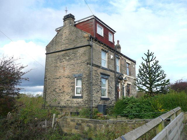
Image: © Humphrey Bolton Taken: 1 Nov 2012
These are on the 1893 OS map, and are just inside the Drighlington boundary.
Images are licensed for reuse under creativecommons.org/licenses/by-sa/2.0
Image Location
Latitude
53.765554
Longitude
-1.645134