New Lane, Cockersdale
Introduction
The photograph on this page of New Lane, Cockersdale by Humphrey Bolton as part of the Geograph project.
The Geograph project started in 2005 with the aim of publishing, organising and preserving representative images for every square kilometre of Great Britain, Ireland and the Isle of Man.

There are currently over 7.5m images from over 14,400 individuals and you can help contribute to the project by visiting https://www.geograph.org.uk
New Lane, Cockersdale
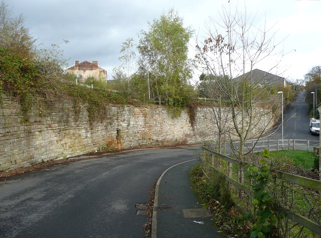
Image: © Humphrey Bolton Taken: 1 Nov 2012
This is where the stream comes down from the right and goes under the high retaining wall where the gas works used to be. Let’s hope the culvert never gets blocked! The iron pipe was maybe a drainage outlet from the works.
Images are licensed for reuse under creativecommons.org/licenses/by-sa/2.0
Image Location


Leaflet Map data © OpenStreetMap
Latitude
53.763942
Longitude
-1.64712