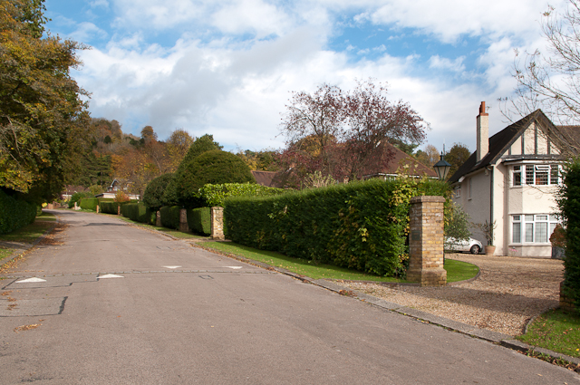
Pilgrims Way
Introduction
The photograph on this page of Pilgrims Way by Ian Capper as part of the Geograph project.
The Geograph project started in 2005 with the aim of publishing, organising and preserving representative images for every square kilometre of Great Britain, Ireland and the Isle of Man.
There are currently over 7.5m images from over 14,400 individuals and you can help contribute to the project by visiting https://www.geograph.org.uk

Image: © Ian Capper Taken: 2 Nov 2012
This private road follows the route of the track that connected Reigate with the east-west pilgrims' route to Canterbury. However, despite the road name suggesting that it formed part of the main pilgrims' route, this has been refuted, although it was almost certainly used by those wanting to divert to civilisation (or refreshment!) in Reigate. It now forms part of the Millennium Trail, a pathway sponsored by Reigate and Banstead District Council, and which links with the track up Colley Hill (the hill in the background). Above the lamp on the right can be seen the Reigate Hill TV transmitter.

