The extended burial ground of the White Chapel
Introduction
The photograph on this page of The extended burial ground of the White Chapel by Humphrey Bolton as part of the Geograph project.
The Geograph project started in 2005 with the aim of publishing, organising and preserving representative images for every square kilometre of Great Britain, Ireland and the Isle of Man.

There are currently over 7.5m images from over 14,400 individuals and you can help contribute to the project by visiting https://www.geograph.org.uk
The extended burial ground of the White Chapel
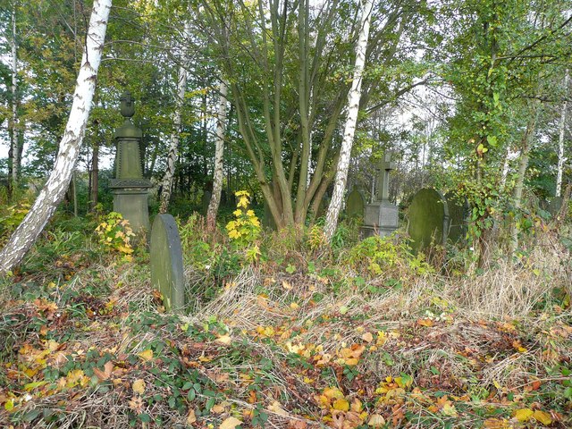
Image: © Humphrey Bolton Taken: 1 Nov 2012
Extended in the 1890s, I think. A large building is shown here on the 1850 map – was it the old vicarage?
Images are licensed for reuse under creativecommons.org/licenses/by-sa/2.0
Image Location
Latitude
53.728742
Longitude
-1.72911