Wall (former barns) on Green Howards Road
Introduction
The photograph on this page of Wall (former barns) on Green Howards Road by Roger Templeman as part of the Geograph project.
The Geograph project started in 2005 with the aim of publishing, organising and preserving representative images for every square kilometre of Great Britain, Ireland and the Isle of Man.

There are currently over 7.5m images from over 14,400 individuals and you can help contribute to the project by visiting https://www.geograph.org.uk
Wall (former barns) on Green Howards Road
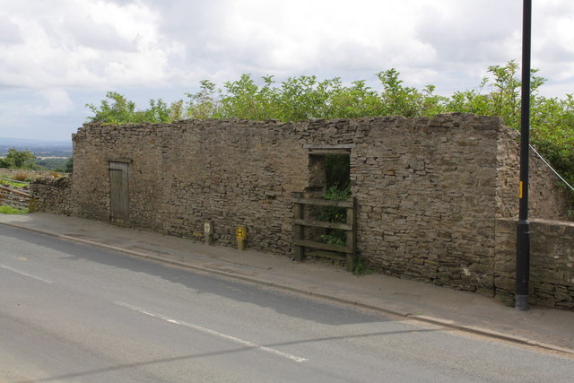
Image: © Roger Templeman Taken: 23 Aug 2012
There is an Ordnance Survey benchmark Image at the wall junction about 3m right of the wooden door.
Images are licensed for reuse under creativecommons.org/licenses/by-sa/2.0
Image Location
Latitude
54.409669
Longitude
-1.741901