Approaching Nesley Farm.
Introduction
The photograph on this page of Approaching Nesley Farm. by Phil Williams as part of the Geograph project.
The Geograph project started in 2005 with the aim of publishing, organising and preserving representative images for every square kilometre of Great Britain, Ireland and the Isle of Man.

There are currently over 7.5m images from over 14,400 individuals and you can help contribute to the project by visiting https://www.geograph.org.uk
Approaching Nesley Farm.
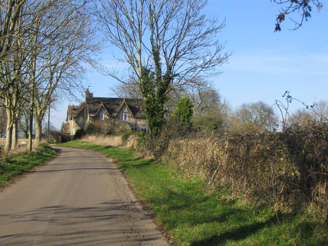
Image: © Phil Williams Taken: 25 Jan 2007
A view looking to the northwest along the lane from Hookshouses , towards the buildings at the entrance to Nesley Farm.
Images are licensed for reuse under creativecommons.org/licenses/by-sa/2.0
Image Location
Latitude
51.629777
Longitude
-2.209003