Bridge over flood alleviation channel
Introduction
The photograph on this page of Bridge over flood alleviation channel by Robin Webster as part of the Geograph project.
The Geograph project started in 2005 with the aim of publishing, organising and preserving representative images for every square kilometre of Great Britain, Ireland and the Isle of Man.

There are currently over 7.5m images from over 14,400 individuals and you can help contribute to the project by visiting https://www.geograph.org.uk
Bridge over flood alleviation channel
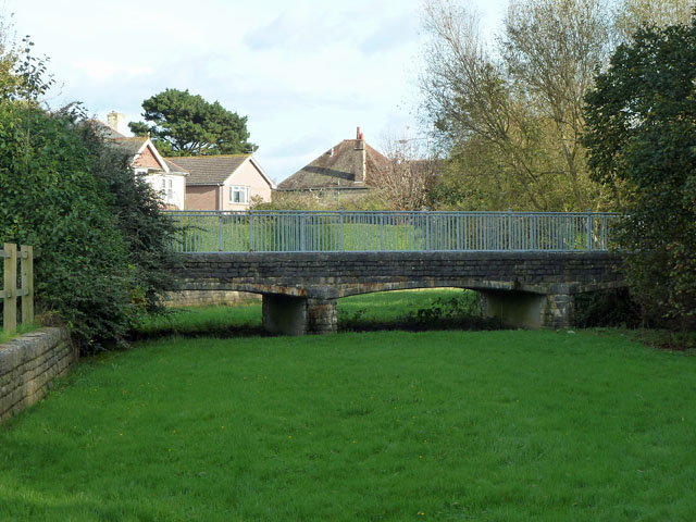
Image: © Robin Webster Taken: 30 Oct 2012
The stream which could flood runs under the right hand arch.
Images are licensed for reuse under creativecommons.org/licenses/by-sa/2.0
Image Location
Latitude
50.612508
Longitude
-1.966875