Holly Bank, Rastrick
Introduction
The photograph on this page of Holly Bank, Rastrick by Humphrey Bolton as part of the Geograph project.
The Geograph project started in 2005 with the aim of publishing, organising and preserving representative images for every square kilometre of Great Britain, Ireland and the Isle of Man.

There are currently over 7.5m images from over 14,400 individuals and you can help contribute to the project by visiting https://www.geograph.org.uk
Holly Bank, Rastrick
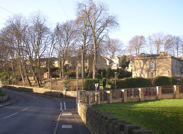
Image: © Humphrey Bolton Taken: 22 Jan 2007
The large house built of ashlar stone is Holly Bank, the houses to the left (Holly Bank Park) are built in its former grounds. Taken from Jumble Dyke; Tofts Grove is the road to the left and Field Lane to the right.
Images are licensed for reuse under creativecommons.org/licenses/by-sa/2.0
Image Location
Latitude
53.690672
Longitude
-1.794016