North View Cottages Strongstry
Introduction
The photograph on this page of North View Cottages Strongstry by Paul Anderson as part of the Geograph project.
The Geograph project started in 2005 with the aim of publishing, organising and preserving representative images for every square kilometre of Great Britain, Ireland and the Isle of Man.

There are currently over 7.5m images from over 14,400 individuals and you can help contribute to the project by visiting https://www.geograph.org.uk
North View Cottages Strongstry
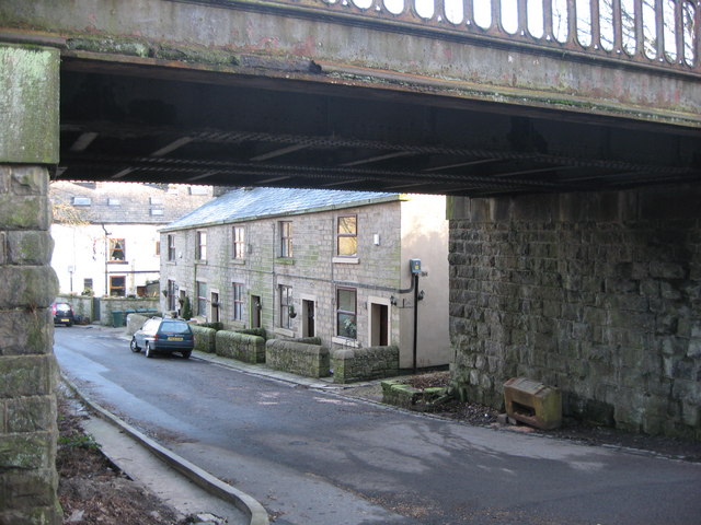
Image: © Paul Anderson Taken: 25 Jan 2007
Not far from Stubbins is the hamlet of Strongstry. Like their neighbour they both have medieval origins. Most of the houses in present day Strongstry date from the 19th century and were built by the Porritts to house their mill workers. The only vehicular access to Strongstry is via the low 10ft 6in bridge in the picture which once was a branch line from Stubbins to Accrington Image
Images are licensed for reuse under creativecommons.org/licenses/by-sa/2.0
Image Location
Latitude
53.66427
Longitude
-2.31777