Flood level marker beside St Mary's Church tower
Introduction
The photograph on this page of Flood level marker beside St Mary's Church tower by Roger Templeman as part of the Geograph project.
The Geograph project started in 2005 with the aim of publishing, organising and preserving representative images for every square kilometre of Great Britain, Ireland and the Isle of Man.

There are currently over 7.5m images from over 14,400 individuals and you can help contribute to the project by visiting https://www.geograph.org.uk
Flood level marker beside St Mary's Church tower
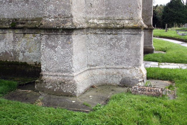
Image: © Roger Templeman Taken: 24 Sep 2012
The flood level plate to the right of the tower buttresses records a flood on 28 June 1917. There is also an OS benchmark Image to the left of the buttresses.
Images are licensed for reuse under creativecommons.org/licenses/by-sa/2.0
Image Location
Latitude
51.111617
Longitude
-2.452359