Field on the outskirts of Otford
Introduction
The photograph on this page of Field on the outskirts of Otford by Marathon as part of the Geograph project.
The Geograph project started in 2005 with the aim of publishing, organising and preserving representative images for every square kilometre of Great Britain, Ireland and the Isle of Man.

There are currently over 7.5m images from over 14,400 individuals and you can help contribute to the project by visiting https://www.geograph.org.uk
Field on the outskirts of Otford
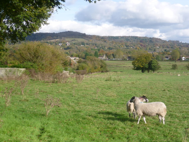
Image: © Marathon Taken: 30 Oct 2012
This view looks across a field on the southern outskirts of Otford towards the escarpment of the North Downs above Kemsing. It can be seen how wooded the crest of the Downs are hereabouts.
Images are licensed for reuse under creativecommons.org/licenses/by-sa/2.0
Image Location
Latitude
51.308156
Longitude
0.181905