Stubbins
Introduction
The photograph on this page of Stubbins by Paul Anderson as part of the Geograph project.
The Geograph project started in 2005 with the aim of publishing, organising and preserving representative images for every square kilometre of Great Britain, Ireland and the Isle of Man.

There are currently over 7.5m images from over 14,400 individuals and you can help contribute to the project by visiting https://www.geograph.org.uk
Stubbins
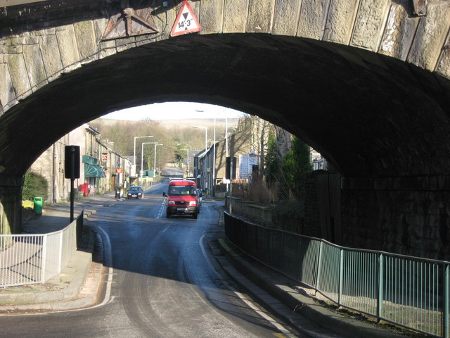
Image: © Paul Anderson Taken: 25 Jan 2007
The former village public house,just under the bridge on the left,was originally the Railway Hotel, recalling the days when Stubbins had its own station and where the branch lines split in two. One branch of the line,running over the bridge, is still used by the East Lancashire Railway Co. http://web.archive.org/web/20080318121242/http://east-lancs-rly.co.uk/?p=history&m=43 which run regular steam services between Rawtenstall and Bury. The second branch line Image now provides an attractive walk and cycle way to Irwell Vale.
Images are licensed for reuse under creativecommons.org/licenses/by-sa/2.0
Image Location


Leaflet Map data © OpenStreetMap
Latitude
53.657173
Longitude
-2.316506