Rugby-Old Bilton
Introduction
The photograph on this page of Rugby-Old Bilton by Ian Rob as part of the Geograph project.
The Geograph project started in 2005 with the aim of publishing, organising and preserving representative images for every square kilometre of Great Britain, Ireland and the Isle of Man.

There are currently over 7.5m images from over 14,400 individuals and you can help contribute to the project by visiting https://www.geograph.org.uk
Rugby-Old Bilton
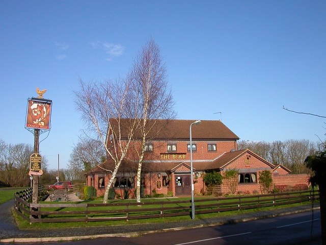
Image: © Ian Rob Taken: 22 Jan 2007
The Bear Public House nestling on the edge of a large residential area and the disused railway.The proposed Western Relief Road will probably be built close by, so it could pick up some passing trade.
Images are licensed for reuse under creativecommons.org/licenses/by-sa/2.0
Image Location
Latitude
52.366491
Longitude
-1.30235