A351 Sandford Road
Introduction
The photograph on this page of A351 Sandford Road by Robin Webster as part of the Geograph project.
The Geograph project started in 2005 with the aim of publishing, organising and preserving representative images for every square kilometre of Great Britain, Ireland and the Isle of Man.

There are currently over 7.5m images from over 14,400 individuals and you can help contribute to the project by visiting https://www.geograph.org.uk
A351 Sandford Road
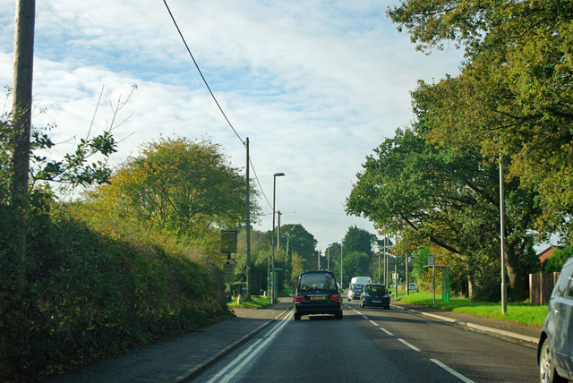
Image: © Robin Webster Taken: 30 Oct 2012
The southern edge of Sandford, with the inn sign for The Sandford just showing on the left.
Images are licensed for reuse under creativecommons.org/licenses/by-sa/2.0
Image Location
Latitude
50.703563
Longitude
-2.103887