Burdale Close, Hull
Introduction
The photograph on this page of Burdale Close, Hull by Paul Glazzard as part of the Geograph project.
The Geograph project started in 2005 with the aim of publishing, organising and preserving representative images for every square kilometre of Great Britain, Ireland and the Isle of Man.

There are currently over 7.5m images from over 14,400 individuals and you can help contribute to the project by visiting https://www.geograph.org.uk
Burdale Close, Hull
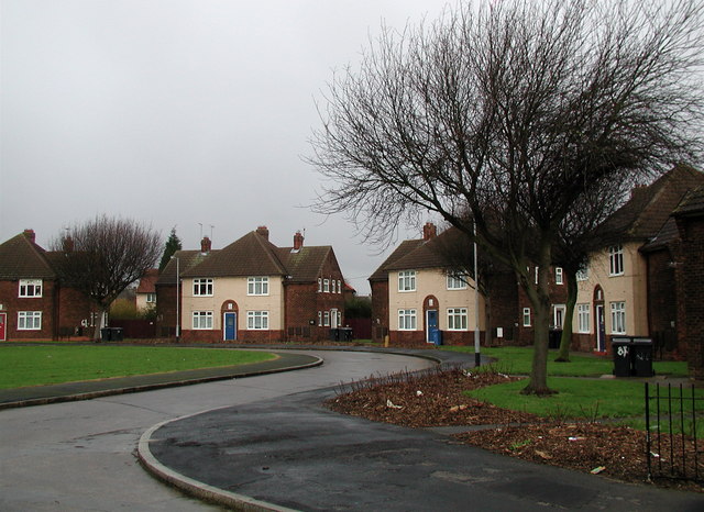
Image: © Paul Glazzard Taken: 24 Jan 2007
Unusual triangular 'village green' style arrangement of houses between Marfleet Lane and Staveley Road in East Hull, now part of a sheltered housing scheme.
Images are licensed for reuse under creativecommons.org/licenses/by-sa/2.0
Image Location
Latitude
53.76326
Longitude
-0.273017