Glasbury Service Station
Introduction
The photograph on this page of Glasbury Service Station by Jaggery as part of the Geograph project.
The Geograph project started in 2005 with the aim of publishing, organising and preserving representative images for every square kilometre of Great Britain, Ireland and the Isle of Man.

There are currently over 7.5m images from over 14,400 individuals and you can help contribute to the project by visiting https://www.geograph.org.uk
Glasbury Service Station
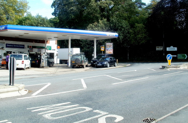
Image: © Jaggery Taken: 11 Sep 2011
Located on the east bank of the River Wye, at the junction of the A438 and the B4350.
Images are licensed for reuse under creativecommons.org/licenses/by-sa/2.0
Image Location
Latitude
52.045209
Longitude
-3.195746